
NASA-IBM Lunar Foundation Model Launches for Moon Mapping
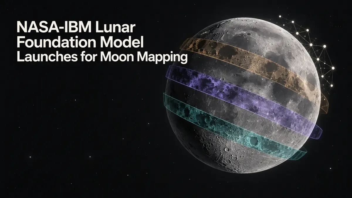
The NASA-IBM Lunar Foundation Model launches for Moon mapping as an open-source AI system trained on decades of orbital observations. NASA and IBM say it can help researchers locate possible ice deposits, identify craters and study volcanic features across the lunar surface.
The September 10 release turns more than 30 layers of data from nine instruments on four NASA missions into a shared research model. In benchmark tests, the organizations reported accuracy gains of up to 23% over widely used methods for identifying important lunar features.
Related Research
NASA-IBM Lunar Foundation Model Combines Four Missions
The model was trained on observations gathered by nine instruments across four missions, according to the launch report from Reuters. The data includes measurements from NASA’s Lunar Reconnaissance Orbiter, which has surveyed the Moon since entering orbit in 2009.
NASA describes the Lunar Reconnaissance Orbiter as an active mission supporting human and robotic exploration. Its instruments collect different kinds of evidence about terrain, temperature, radiation and composition, producing complementary views rather than one uniform photograph of the surface.
Combining those views is central to the model’s value. A single region can look different in optical imagery, elevation measurements or thermal observations. A system trained across multiple data layers can learn relationships that a tool built for only one sensor may miss.
The release joins IBM and NASA’s Prithvi family of scientific foundation models, which also covers geospatial and weather applications. The common idea is to train a reusable model on large scientific datasets, then adapt its learned representation to narrower research tasks.
Open availability matters because lunar science is distributed across universities, agencies and mission teams. Researchers can inspect the model, test it against regional datasets and compare its outputs with established mapping workflows instead of depending entirely on a closed commercial service.
Lunar AI Model Targets Ice, Craters and Volcanic Features
NASA and IBM identify three immediate mapping applications:
- Flagging possible ice in permanently shadowed regions
- Mapping craters for safer landing-site analysis
- Studying volcanic structures and lunar geology
Each task connects scientific interpretation with mission planning. Crater maps help teams evaluate slopes, obstacles and landing hazards. Volcanic features preserve evidence of the Moon’s geological history, while shadowed polar regions may hold volatile materials that have survived for long periods without direct sunlight.
Potential ice deposits attract particular attention because water can support crews and be separated into hydrogen and oxygen. Those materials could provide breathable oxygen and ingredients for propellant, reducing the amount of mass that future missions need to launch from Earth.
The model does not turn an orbital signal into a confirmed resource deposit. A candidate location still requires comparison with multiple instruments, uncertainty analysis and, eventually, direct measurement. Its practical contribution is prioritization: helping scientists decide where closer study is most likely to pay off.
The 23% Benchmark Gain Needs Task-Level Scrutiny
NASA and IBM said the model identified key lunar features up to 23% more accurately than widely used approaches. The words “up to” are important. They describe the strongest reported improvement, not a guarantee that every feature, region or downstream task receives the same gain.
Independent evaluation will need to establish which benchmarks produced the advantage, how training and test regions were separated, and whether performance holds near the poles. Permanently shadowed terrain is especially difficult because ordinary reflected-light imagery offers limited information there.
Researchers will also examine resolution and transfer. A model can perform well when detecting large geological patterns yet still struggle with hazards at the scale relevant to a particular lander. Fine-tuning on a local region may improve performance, but it can also expose gaps in labels or sensor coverage.
Open-source distribution makes those checks possible. Reproducible results will depend on more than downloadable weights: users need clear preprocessing steps, data provenance, task definitions and evaluation code to determine whether a result reflects the model or a difference in how inputs were prepared.
Moon Mapping AI Supports Artemis Planning
The launch arrives as NASA prepares to return astronauts to the Moon through Artemis and develop a sustained lunar presence. Better maps cannot replace spacecraft testing or surface reconnaissance, but they can narrow candidate sites and connect decades of observations to new operational questions.
The same model could also help scientists search for similarities across distant regions. Instead of manually reviewing every map layer, a researcher could use learned features to find terrain with comparable signatures, then examine the underlying measurements and decide whether the resemblance is scientifically meaningful.
That workflow keeps the model in an assistive role. Landing decisions require engineering margins, mission constraints and accountable human review. Resource assessments likewise need physical evidence before a location can be treated as a source of usable water, oxygen or fuel.
The most informative next results will come from outside teams reproducing the benchmark, adapting the model to new tasks and publishing its failure cases. If the reported gains survive that scrutiny, NASA and IBM will have provided lunar science with a reusable analytical layer rather than another single-purpose detector.